Giaglione | Telefono: +39 012233226 | Cellulare: +39 3479657918
![]()
![]()

-
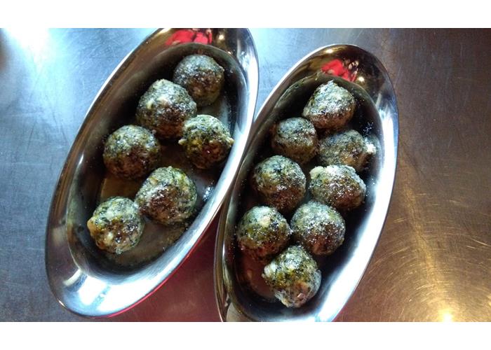
€ 35 - 44
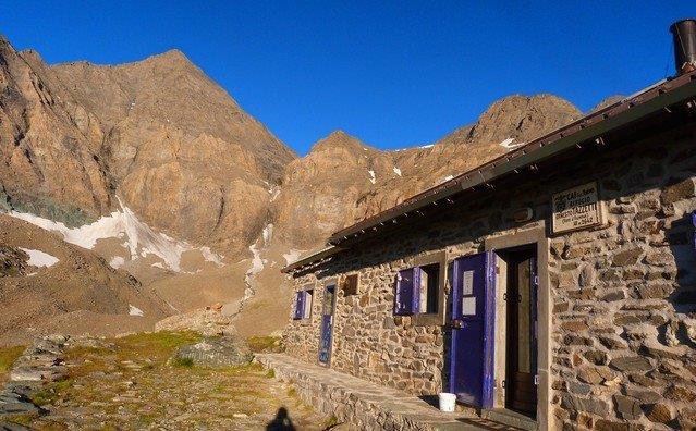
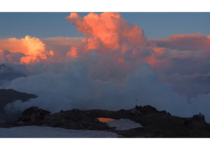
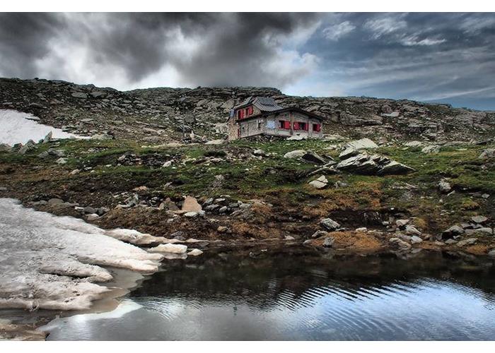
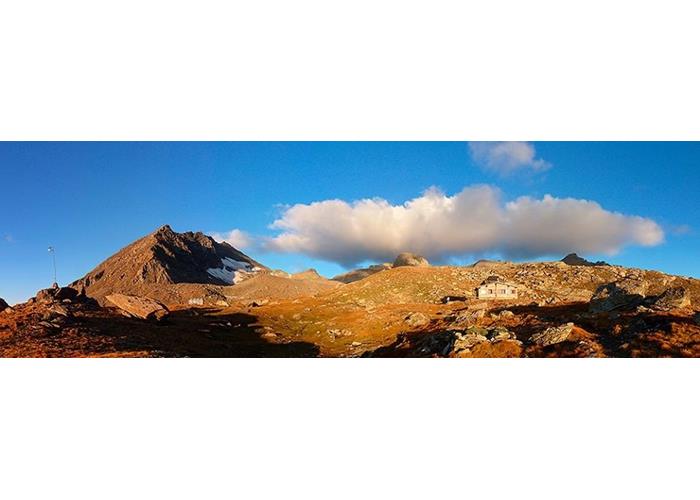
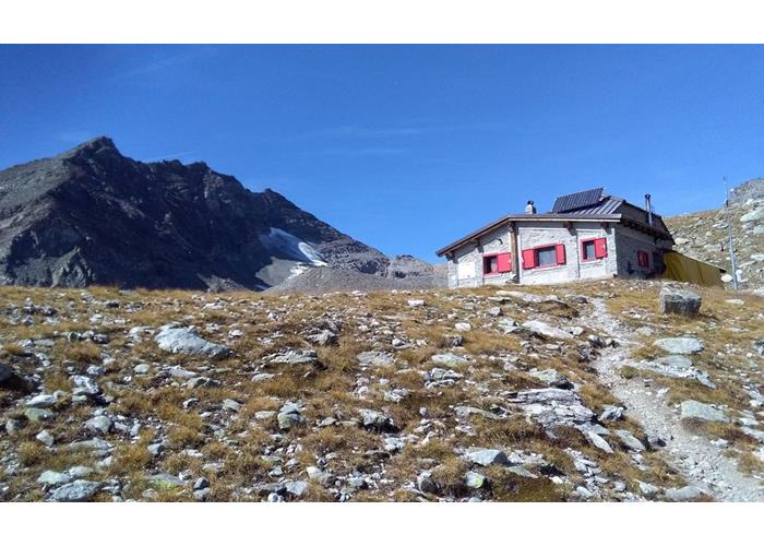
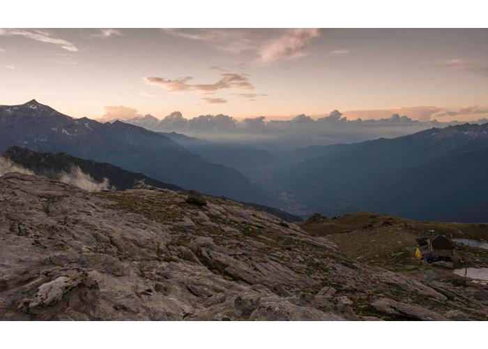
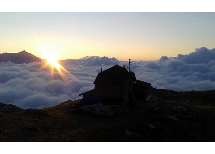
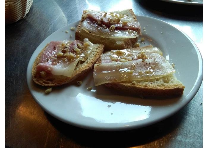
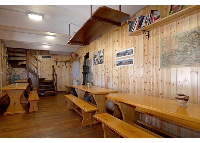
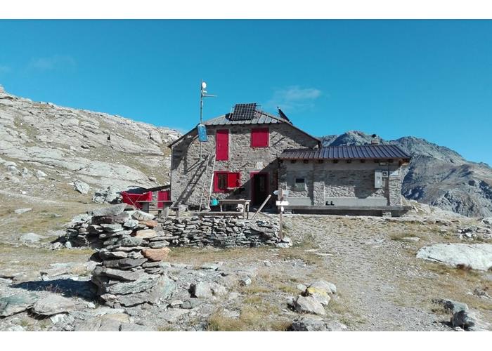
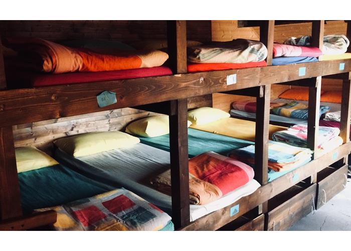
The Refuge Luigi Vaccarone is located near the lake of the lamb in the municipality of Giaglione (to), in Val di Susa, at 2,743 m A.S.L. very old refuge, located in the heart of the Wild massif D'ambin, which reopens its doors in 2012 after almost twenty years of closure. The refuge has 15 beds in a single dormitory and offers simple (abundant) and healthy cuisine. The ingredients of our restaurant are carefully chosen and come (within the limits of the possibilities that our situation offers) from local producers, or from the organic or fair trade market.
Read everything
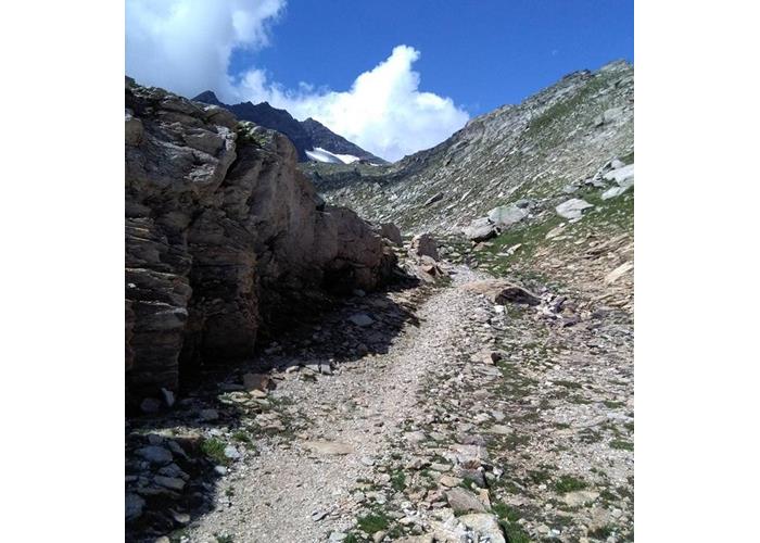
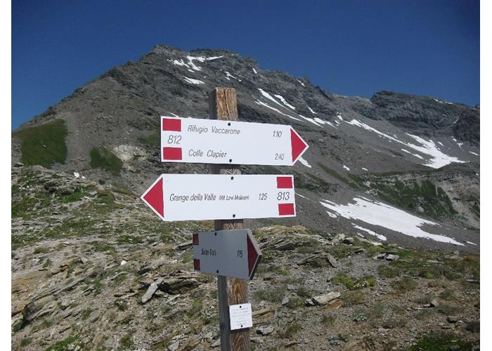
▪ From Exilles: By car – from the SS 24 from S.S. 24 towards Bardonecchia, take the right fork to Eclause – Grange Della Valle until reaching the Grange della Valle (1769 m). On foot – from here continue on foot on a dirt road that with a couple of hairbends, reaches the altitude of the Levi Molinari Refuge (1849 M.), which is located on the left in the Larici wood. Take right the ex-military mule track, which leads first to a valley of pastures where was the fountain of St. John (2055 M.) and then climbs to wide bends to the Clopacà Pass (M. 2750, markings red/white). From the Hill (marker yellow more red/white) descends slightly towards the valley Clarea, just beyond the junction that descends in the valley of Tiraculo, to continue halfway north, for Chine first grassy and then debris, in the last ridge Morainic rises in the direction of the lake of the Lamb (2768 M.) and in short to the refuge (H. 4.00).
▪ From Giaglione: By car – going up in the direction of Colle del Moncenisio, turn left onto the road of Valle Clarea, and go just beyond the reservoir, in the locality of Case Goranda (1100 m). On foot – cross the Clarea stream and for mule track to reach the Alpe del Tiraculo (1392 m), and then Le Grange Valentino (M. 1964). After the Rio Tiraculo (2020 m), continue uphill to the union with the path coming from the Passo clopacà. Then you continue half way north, for first grassy and then Detritiche, last for Morainic ridge rises in the direction of the lake of the Lamb (2768 M.) and in short to the refuge. (H. 5.30)
▪ From Chiomonte: By car – Follow the road towards the Ramats hamlets, then turn to the cels, after about 1.5 km take the roadway leading to the Grange del Guy (1366 m). On foot – here is the mule track that with large back rooms at the Grange Pertuso and then at the mouth of the Thuille Tunnel (M. 1980) also called Pertus de Romean, a gallery of about 500 meters in length, excavated by hand in 1500 by Colombano Romean, to bring the water of the V Tiraculo AllOne to the regions Ramàts and cels. Continue to the right until you reach the top of the four Chiomonte teeth (2100 m). A short descent leads to the Grange Thuille (2024 m) and to the Ford on the Tiraculo River, the trail climbs up to join with the one coming from the Clopacà pass. From here we continue in slight slope towards the lake of the Lamb (2768 M.) and in short we reach the refuge (H. 5.00)
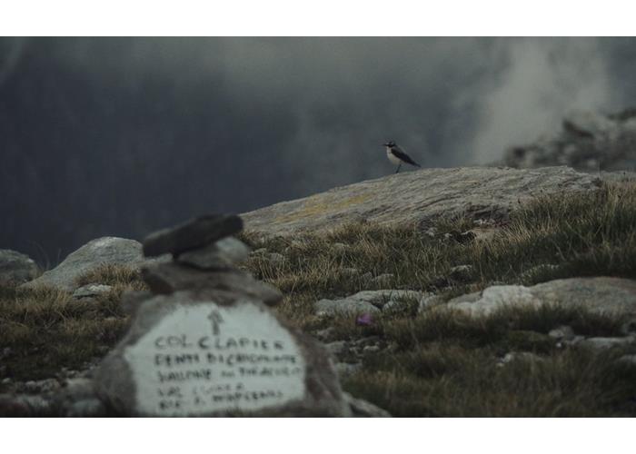
▪ from the Colle del Piccolo Moncenisio: By car – from Susa with the national Road 25 of Moncenisio to the hill, then reach the Colle del Piccolo Moncenisio (2182 m). On foot – the trail leads along the Savine Valley and the Savine Lake until you reach the Clapier Hill. From the hill you reach a slight descent to the lakes of Clapier, then crossing the barrier of the gias you reach the refuge. (4.00 h from the small Moncenisio).
1 large bedroom with 15 places plus winter room 10 places 2 bathrooms
Read everythingOpen from 15 June to 15 September.
Enter our shop to buy our gadgets, items for the mountains, stay packages in one of the mountain huts that are part of mountbnb.
Buy now
![]()
![]()