Telve di valsugana | Telefono: -3334953398 | Cellulare: +39 3334953398
![]()
![]()

€ 30
€ 55
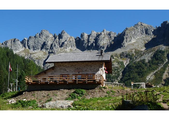
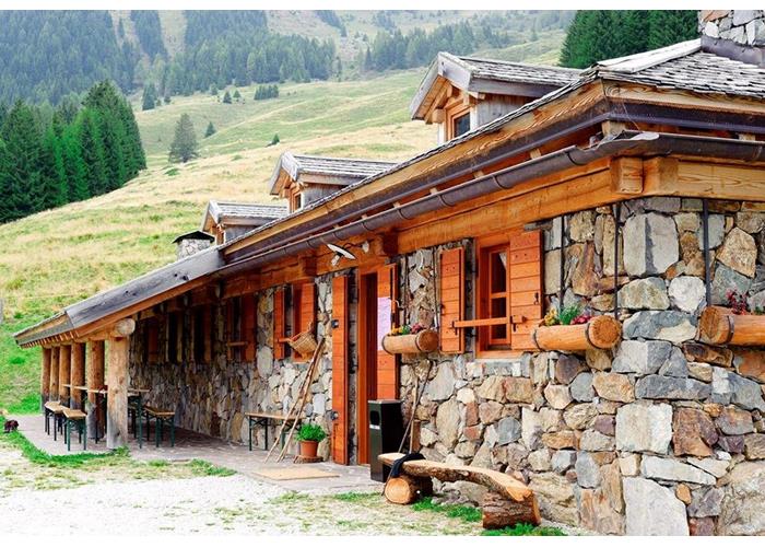
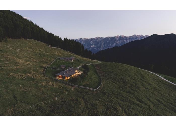
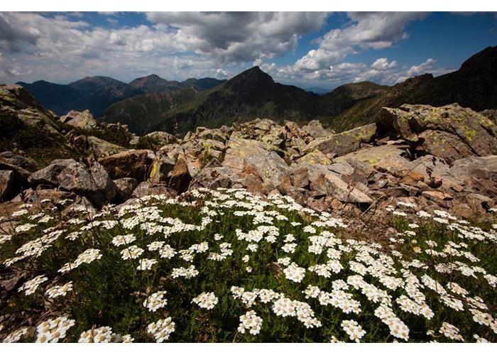
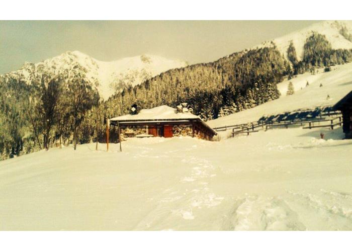
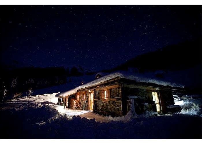
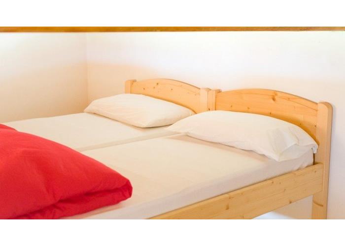
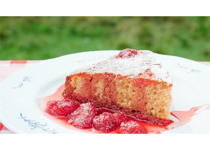
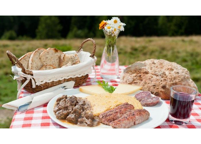
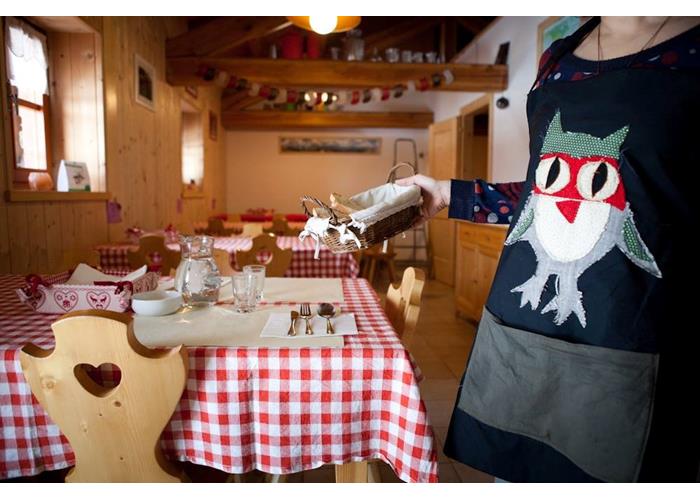
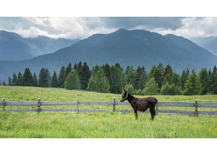
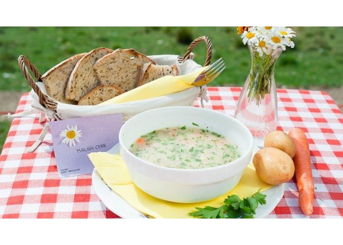
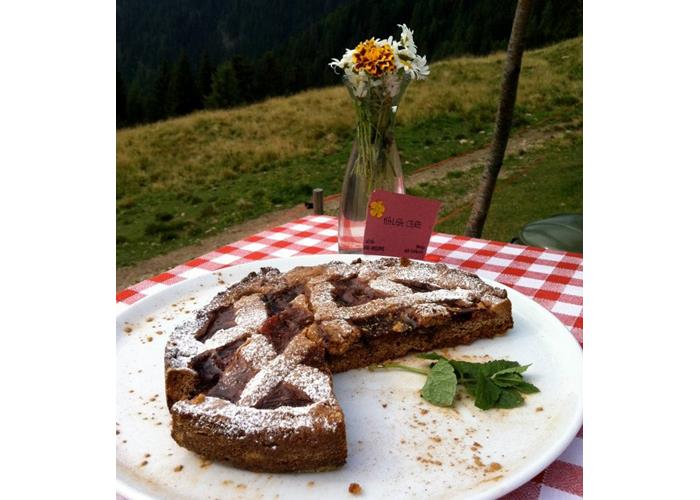
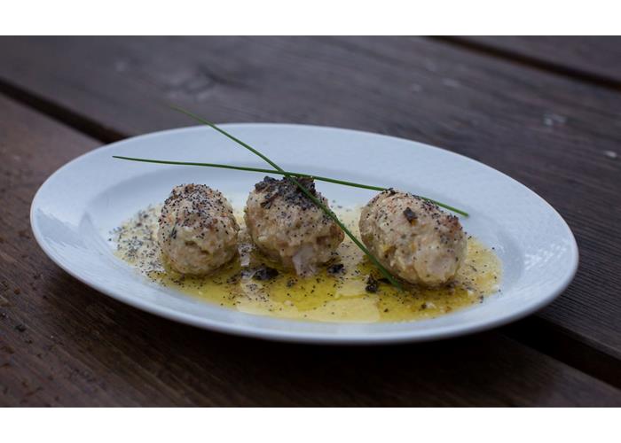
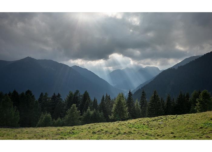
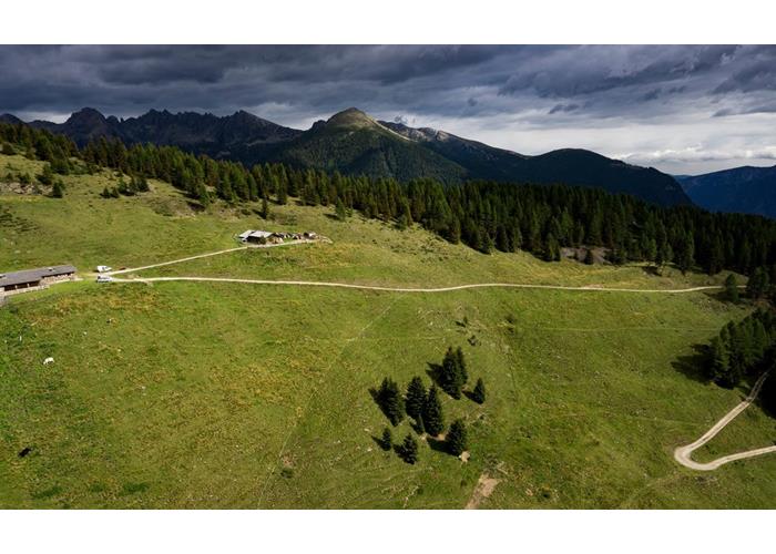
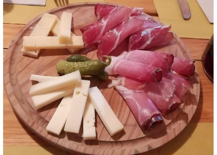
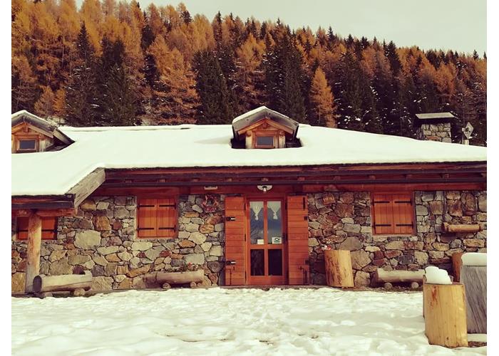
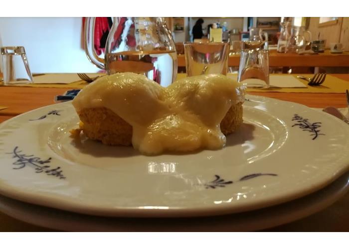
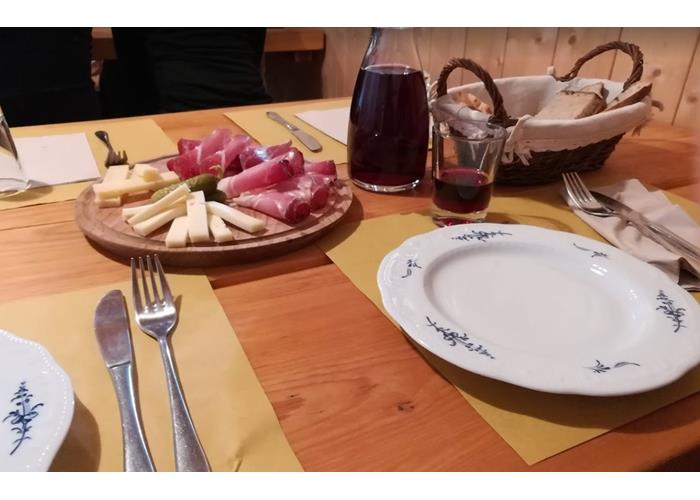
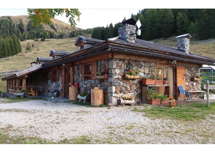
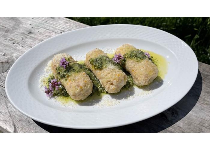
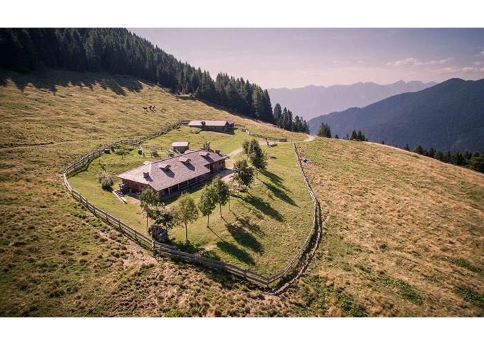
Malga Cere was once the stable that served as a shelter for the cows in the mountain pasture season; today it is a rural business that offers a family-run restaurant and overnight stay service. It is located at an altitude of 1713 meters, near the Manghen Pass, in a panoramic point that dominates the Val Calamento, in the western Lagorai. To reach it, take a wonderful path (400 meters in altitude with a development of about 2 km) and cross enchanted coniferous woods. The forest road is closed to traffic, it can be reached on foot, on horseback and by MTB or with snowshoes and mountaineering skis in winter. Malga Cere is located on sunny slopes, surrounded by pastures and woods. In the surroundings of Malga Cere there are numerous paths and itineraries of historical (World War I) and naturalistic interest, some of which can be covered in one day, others for several days. Malga Cere offers guests an ecological restaurant service (certified with the Ecoristorazione Trentino brand), based on local and organic products. The traditional Trentino dishes, the freshness and genuineness of the raw materials carefully chosen by the managers, make the cuisine one of the strong points of the malga. Malga Cere has comfortable and clean rooms, to ensure its guests a comfortable overnight stay. The rooms are equipped with linen (sheets, pillows and duvet). The rooms host from four to eight people and are shared, as is the bathroom, which for this reason does not have towels and personal products. genuinità delle materie prime scelte con cura dai gestori, fanno della cucina uno dei punti forti della malga. Malga Cere dispone di camere comode e pulite, per assicurare ai propri ospiti un confortevole pernottamento. Le camere sono dotate di biancheria (lenzuola, cuscini e piumone). Le camere ospitano da quattro a otto persone e sono comuni, così come il bagno, che per questo motivo non dispone di asciugamani e prodotti per la persona.
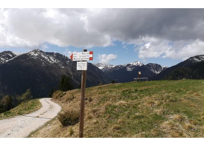
Read everythingFrom Trento or Bassano, take the Valsugana state road no. 47 to the Castelnuovo exit, continue towards Telve from where you follow the signs for Val Calamento – Passo Manghen. Take the provincial road no. 31, go up the beautiful Val Calamento up to the village of the same name. After passing the Aurai hotel, after about 1 km you park in a square used as a wood warehouse. From here you can walk up along the forest road (4.4 km) or you can take the path (n.398) through the wood, well signposted (2.5 km). In this case. There are about 400 meters in altitude (easy path).
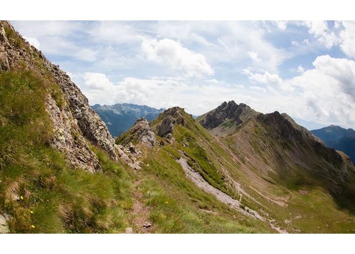
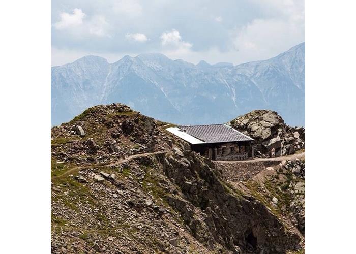
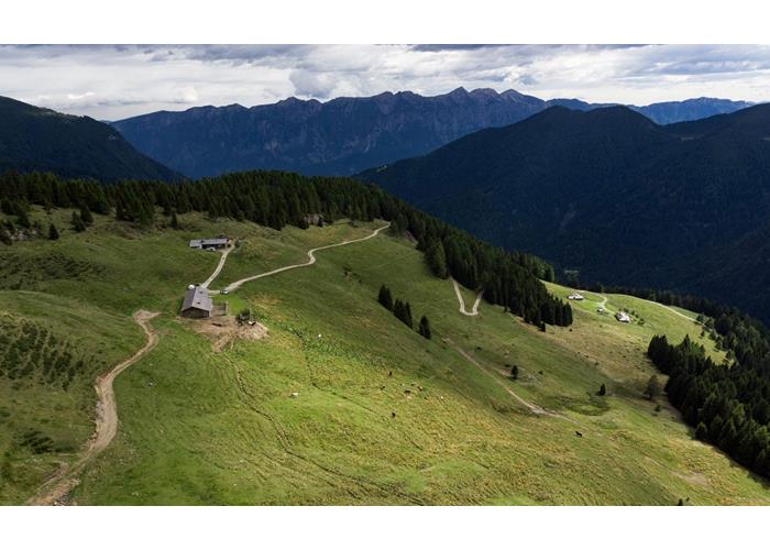
Read everythingMalga Cere – Malga Valpiana - Bristles Difficulty: E . Journey time: 1.30. Elevation gain: 500m. Starting point: Malga Cere. Point of arrival: Cima Monte Setole Highest point: 2208 Description: from Malga Cere you take either the forest road or a visible but unmarked path through the meadows and pastures of Malga Valpiana and head towards Malga Valpiana itself (1846 m). It is a Malga active during the summer pasture period in which milk is still processed in the old-fashioned way and where you can buy cheese, ricotta and malga butter. From Malga Valpiana, climb the ridge above until you reach the top of Monte Setole (2208 m) via the last steep ridge. From here the view is truly majestic and 180 degrees: you can admire the Lagorai chain and the Cima d'Asta and beyond the Pale di San Martino. The return takes place by the same route as the outward journey. Pleasant and undemanding excursion. “Herta Miller Haus” military field hospital, Monte Valpiana – Setole – Malga Valpiana – Malga Cere Difficulty: E . Journey time: 5 hours. Elevation gain: 650m. Starting point: Malga Cere. Place of arrival: “Herta Miller Haus”. Highest point: 2366.Description: From Malga Cere in about two hours of walking you reach the top of Monte Valpiana where you can find the remains of the "Herta Miller Haus" military field hospital, restored in 2014. The "Herta Miller Haus” is one of the open-air museums that bear witness to the tragic events of the Great War on the Lagorai. You start from Malga Cere, follow path 398, cross the marvelous Valle delle Maddalene, reach the Forcella delle Maddalene and climb the ridge that leads to the top of Valpiana, near which the military hospital is located. You can return to the malga by the ascent route, or go up again from the Maddalene fork towards the specular top of Monte Setole (2208 m). This path is not marked but the track is clearly visible. From Setole you descend towards Malga Valpiana and from here you arrive at Malga Cere through the forest road that connects them. Loop tour: Montalon - Pala del Becco - Forcella Ziolera - Monte Valpiana Difficulty: E . Journey time: 7 hours. Difference in altitude: 1514 m. Starting point: Hotel SAT Lagorai. Point of arrival: Malga Cere Highest point: 2360 mt. Description: From the Hotel Sat Lagorai (from the car park next door) take the forest road northwards, cross the bridge over the Maso di Spinelle stream, continue to the start of path 362. Take path 362 and climb up to the Capitello di Sant'Antonio di Montalon (1656 m, about 40 minutes from departure). Continue along the path, going beyond Malga Montaletto and ignoring the detour to Malga Costa, up to Malga Montalon (1866 m. About half an hour from Malga Montaletto). Go past the Malgae, staying on path 362, to reach Lake Montalon (2089 m. About two hours from the starting point). From here, follow the signs for path 322b towards Forcella Ziolera. Cross the stony ground that leads to Forcella Pala del Becco and continue until you reach path 398. On this path, which leads to the top of Monte Valpiana, you can see the remains of trenches and military structures from the Great War. Continuing you quickly arrive near the recently restored small field hospital "Herta Miller Haus". Continue towards Forcella Maddalena (2144 m) from here cross the wonderful Valle delle Maddalene and reach, always staying on path 398, Malga Cere. High routes, multi-day excursions: Alta via del centennale http://www.lagoraipanorama.it/altaviadelcentenario/altaviadelcentenario.html Alta Via Lagorai Panorama, variant http://www.lagoraipanorama.it/index.html http:// www.lagoraipanorama.it/descrizione.html#variantevalpiana
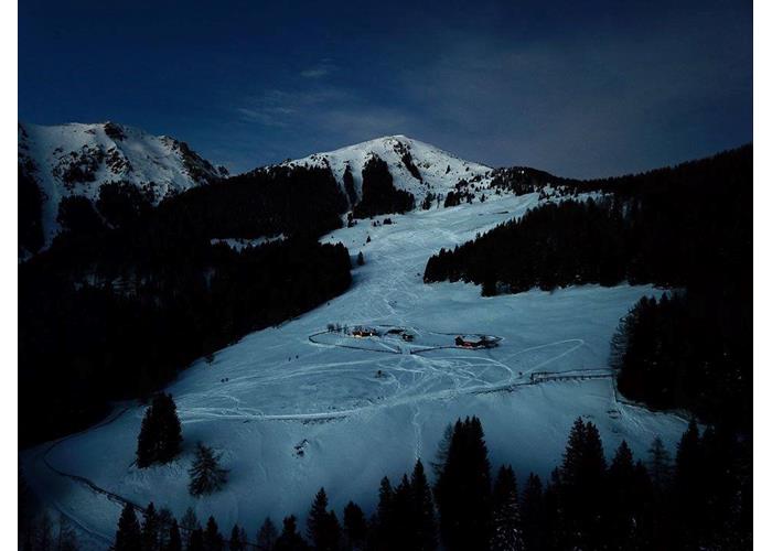
Read everythingOpen from 22 April to 1 May 2023 Open from 2 June to 1 October 2023
Enter our shop to buy our gadgets, items for the mountains, stay packages in one of the mountain huts that are part of mountbnb.
Buy now
![]()
![]()